
Karst Features and Cave Protection Requirements
Development over the Edwards Aquifer Recharge Zone requires a geologic assessment identifying sensitive features such as caves, sinkholes, faults, and fractures. Where a feature is found, protective measures and buffer zones are required, and the site design has to change around it. TCEQ reviews
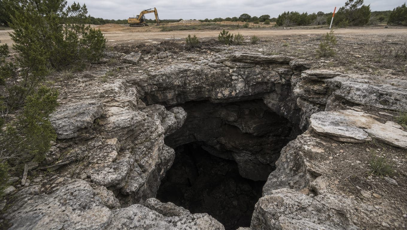
Published October 19, 2026. Last reviewed October 19, 2026. Technical review: Jim Price, CISEC, CESSWI. Founder, Stormwater Compliant LLC.
Development over the Edwards Aquifer Recharge Zone requires a geologic assessment identifying sensitive features such as caves, sinkholes, faults, and fractures. Where a feature is found, protective measures and buffer zones are required, and the site design has to change around it. TCEQ reviews this as part of the Water Pollution Abatement Plan.
The cost of finding a karst feature is almost entirely a function of when you find it.
Why the Recharge Zone is different
Most stormwater regulation assumes water moves slowly through soil, and that soil filters it. Over the Edwards Recharge Zone, that assumption fails.
The Recharge Zone is where the aquifer's water-bearing formations crop out, along with nearby formations where caves, sinkholes, faults, and fractures allow water to enter the aquifer directly. The limestone is soluble, water has been dissolving pathways through it for a very long time, and the result is a karst landscape: a subsurface plumbing system of voids, conduits, and fissures that can carry surface water into the aquifer in hours rather than years.
That is why a sinkhole on a construction site is treated so differently from a low spot. It is not a drainage inconvenience. It is a direct opening into the drinking water supply for San Antonio and much of central Texas.
It is also why the requirements feel disproportionate to people arriving from flatter markets. They are proportionate to the geology, which is genuinely unusual.
The geologic assessment
For Recharge Zone development, a geologic assessment is part of the Water Pollution Abatement Plan submitted to TCEQ. See Edwards Aquifer Protection Plans: WPAP and CZP basics.
Who performs it. A qualified geologist. TCEQ publishes instructions to geologists for geologic assessments, and the assessment is prepared to that guidance. This is not work a civil engineer, a contractor, or a stormwater firm performs, and we say that plainly because the distinction matters.
What it looks for. Surface and near-surface evidence of features that could transmit water into the aquifer: caves and cave entrances, sinkholes and closed depressions, solution cavities and voids, faults and fracture zones, and areas of thin or absent soil cover over fractured rock.
When it belongs in your schedule. As early as you can get it. Ideally during due diligence, before you close on the land, and certainly before the site plan is fixed. A geologic assessment is a modest cost against a land purchase and a very large cost against a redesign.
What it produces. A report identifying features, characterizing them, and recommending protective measures. That report feeds your WPAP, and TCEQ's technical review considers it.
What counts as a sensitive feature
In general terms, a sensitive feature is any geologic feature that could allow surface water to reach the aquifer without the filtration that normal soil and rock would provide.
That includes the obvious ones, being open caves and visible sinkholes, and the less obvious ones that account for most findings: closed depressions with no outlet, soil-filled solution features, fracture zones, and voids encountered below grade.
The less obvious category matters most in practice, because an open cave entrance gets noticed during a site walk. A soil-filled solution cavity under two feet of cover does not, and it may be found by the assessment or, worse, by an excavator.
TCEQ's technical guidance, including RG-348 and its appendices, addresses the identification and treatment of these features. Your geologist works to that guidance, and the specific criteria applied are theirs to interpret rather than ours.
What happens when one is found
The honest answer is that it depends on the feature, and anyone offering a formula is overselling.
Broadly, outcomes range across:
Buffer and avoid. The most common outcome for a significant feature. A protective buffer is established around it, development is kept out of that buffer, and drainage is directed away. You lose the buffer area from your developable yield.
Divert drainage. Surface water that would naturally flow toward the feature is intercepted and routed elsewhere, so that runoff carrying construction sediment or long-term pollutants does not enter it.
Protective structures. For features that need to remain open, for example where a cave has ecological significance, protective construction such as gating and berming may be required to keep contaminated runoff out while preserving the feature.
Remediation or plugging. In some circumstances a feature may be treated rather than preserved, and this is subject to approval and to conditions.
Two things are consistently true. First, you can usually still build, and outright prohibition on an entire site is uncommon. Second, the layout changes, and the buffer comes out of your yield.
The stormwater consequence is where our work starts. A buffer changes your grading. A diversion changes your drainage network. A feature near the low point of the site may rule out the basin location your engineer had chosen, which cascades into the whole layout. Those are design and construction problems, and they are solvable, but not cheaply once the plan is fixed.
Buffers and protective measures
A buffer around a sensitive feature is not just a no-build line. It has to work hydraulically.
Keeping water out is the point. The buffer exists so that runoff carrying sediment, hydrocarbons, and whatever else a developed site produces does not reach an opening into the aquifer. That means the drainage around it has to be deliberate: diversion berms, swales routed away from the feature, and outfalls placed so that concentrated flow never discharges toward it.
Erosion control inside the buffer is harder, not easier. An undisturbed buffer next to an active construction site still receives whatever the adjacent slope sheds. Perimeter controls on the buffer edge, keyed in properly, matter more here than almost anywhere else on the job.
Cave gating, where required, is protective construction designed to prevent contaminated runoff and debris from entering while allowing the feature to function. It is specialized work and it is designed by the people who assessed the feature.
Long-term maintenance is real. The diversion that protects the feature during construction has to keep working afterward. Silted-in swales, failed berms, and eroded diversions around a buffered feature are a WPAP compliance problem, and over the Recharge Zone within COSA jurisdiction, SAWS inspects quarterly to verify compliance with the approved plan. See the SAWS construction stormwater ordinance.
The endangered species dimension
This needs to be flagged and then handed off.
The Edwards karst system hosts invertebrate species that live in caves and occur nowhere else, several of which are federally listed as endangered. Where a cave or void on a site provides habitat, federal Endangered Species Act considerations can apply, which is a different regulatory track from TCEQ's water quality program.
That is outside our expertise and outside stormwater compliance. If a geologic assessment identifies a feature that may constitute habitat, the right next call is to a qualified biologist or environmental consultant experienced with karst invertebrates, not to a stormwater contractor and not to a general environmental firm.
We raise it because a developer who has just learned about the geologic assessment requirement frequently does not know this second dimension exists, and finding out about it late is the same problem as finding out about the assessment late, only larger.
Why timing decides the cost
This is the practical message of the whole article.
| When you find the feature | What it is |
|---|---|
| During due diligence, before purchase | A price and feasibility input. You buy accordingly, or you do not buy. |
| During early design | A design constraint. Layout adapts around the buffer. Modest cost. |
| During WPAP preparation | A redesign. Drawings change, and the submittal is delayed. |
| After WPAP approval | A plan modification back through TCEQ, with review time attached. |
| During excavation | A stop-work event, an unplanned assessment, a redesign, and a resubmittal, all with crews mobilized. |
The same feature. Five very different numbers.
Over the Recharge Zone, the geologic assessment is the cheapest insurance available on the project. It costs a fraction of a week of delayed construction, and it is the only thing standing between you and the bottom row of that table.
If you find a void during excavation
It happens, including on sites that had an assessment, because assessments identify what is findable from the surface and near surface.
What to do:
- Stop work in the immediate area. Do not backfill it, do not push spoil into it, and do not treat it as a bad-soil problem to be over-excavated and replaced.
- Keep water out of it. Divert any surface drainage away immediately. If it rains into an open void, you have a discharge into the aquifer and a much larger problem.
- Protect and secure it. Both for water quality and for safety.
- Call your geologist, and notify TCEQ's Edwards Aquifer Protection Program. Your approved WPAP is now potentially inaccurate, and that has to be resolved rather than ignored.
- Document everything, with dated photographs, from the moment of discovery.
- Expect a plan modification. Material changes to an approved plan go back through review.
The instinct to fill it in and keep going is understandable and it is the worst available option. An undisclosed filled void over the Recharge Zone is a serious matter, it is discoverable later, and it converts a schedule problem into an enforcement one.
We build the drainage around it
To be clear about what we do and do not do: we are not geologists and we do not perform geologic assessments or habitat determinations. We work with the people who do.
What we build and maintain is the stormwater side of the outcome: the diversion berms and swales that keep runoff away from a protected feature, the erosion controls around the buffer that hold under Hill Country rainfall, the permanent water quality BMPs your WPAP commits to, and the ongoing maintenance that keeps all of it functioning through the quarterly inspections that follow.
If you have a Recharge Zone site and an assessment has found something, we can tell you what it means for your drainage and what the protective measures will take to build and keep working.
Free site walk, written scope, fixed price, typically inside 48 hours.
Request a quote or call (210) 776-6515. See BMP maintenance and repair, or the full local picture in San Antonio, Bexar County, and Edwards Aquifer stormwater rules.
Sources
- TCEQ, Edwards Aquifer Rules and Technical Guidance, including Instructions to Geologists for Geologic Assessments
- TCEQ, Edwards Aquifer Protection Program
- TCEQ, Edwards Aquifer Protection Plans
- TCEQ, Complying with the Edwards Aquifer Rules (RG-348)
Common questions
- What is a geologic assessment?
- An evaluation by a qualified geologist identifying sensitive geologic features such as caves, sinkholes, faults, and fractures on a site over the Edwards Aquifer Recharge Zone, prepared to TCEQ's guidance and submitted as part of the Water Pollution Abatement Plan.
- Do I need one for my site?
- Generally yes for regulated activity over the Recharge Zone. Over the Contributing Zone it is typically not required absent recharge features.
- Can I still build if a cave is found?
- Usually yes, with a protective buffer, drainage diverted away, and design changes around it. Outcomes vary by feature.
- Who performs the assessment?
- A qualified geologist working to TCEQ's instructions. Not a civil engineer, and not a stormwater contractor.
- What if a feature is habitat for an endangered species?
- That brings federal Endangered Species Act considerations into play, which is a separate track. Engage a qualified biologist or environmental consultant.
- We found a void while excavating. What now?
- Stop work in that area, keep water out, protect it, call your geologist, and notify TCEQ. Do not backfill it.
- When should the assessment happen?
- As early as possible, ideally during due diligence before land purchase.
The work behind this article
- Stormwater Basin and BMP Maintenance
A Texas stormwater maintenance company that runs your basins and ponds on a calendar instead of on emergencies. Mowing, vegetation, sediment, trash racks, and inlets on the scheduled visit, and crews on site within 72 hours when a control is failing between them.
- Stormwater Inspection Services
CISEC and CESSWI inspectors, on your site every seven days while the job is live and on your MS4's schedule once it is not. One inspector, one tablet, forty checkpoints, and the report before the truck leaves the property.
- Stormwater Filter Service
Confined-space crews, OEM-spec cartridges in the truck, waste manifested off site. Your treatment vault back to design flow in a single visit.
Need help with stormwater compliance on a San Antonio property? We do site walks at no charge.
Request a fixed-price quoteMore field notes from the watershed.
 Compliance · 11 min
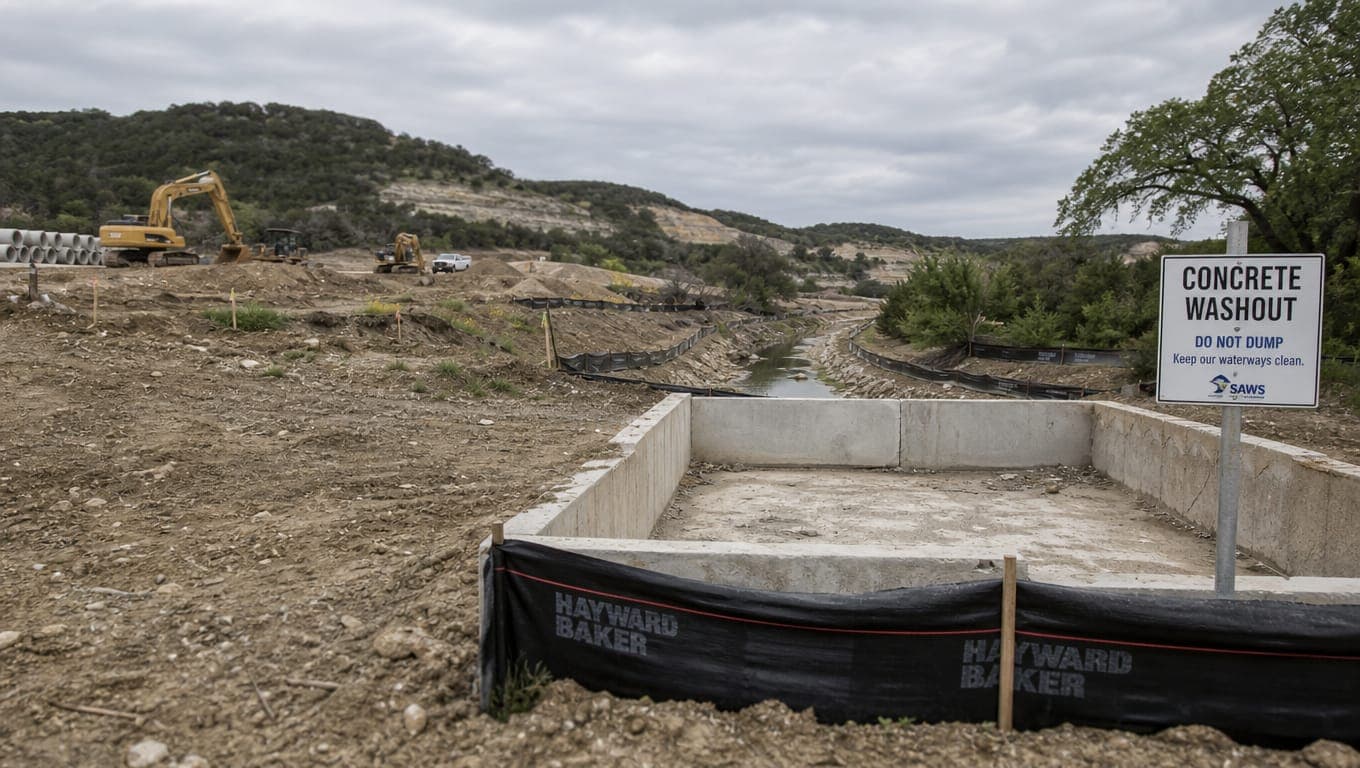
San Antonio, Bexar County, and Edwards Aquifer Stormwater Rules
A San Antonio construction site can sit under five separate stormwater authorities at once: TCEQ for the state permit, TCEQ's Edwards Aquifer Protection Program for the aquifer overlay, SAWS and the City of San Antonio inside city limits, and Bexar County Public Works in the unincorporated area
 Field guide · 8 min
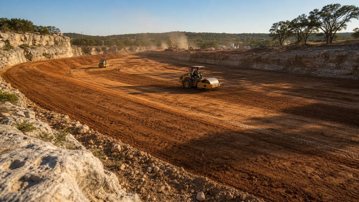
Basin Lining Requirements Over the Recharge Zone
Water quality basins over the Edwards Aquifer Recharge Zone require impermeable liners. TCEQ's technical guidance, RG-348, allows clay, concrete, or geomembrane. A clay liner needs a minimum thickness of 12 inches and a permeability of 1 x 10⁻⁶ cm/sec. A geomembrane needs a minimum thickness of 30
Get a stormwater
compliance quote.
Free site walk, written scope of work, fixed-price quote. Usually back to you within 48 hours.